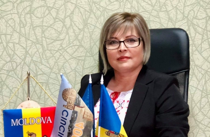
The mayor of Ciuciuieni, Sângerei, Violeta Vitu, was delighted to learn that her town has become a beneficiary of the project “Maps for Sustainable Development of the Republic of Moldova”, implemented by the Norwegian Mapping Agency Statens Kartkverket, in cooperation with the Congress of Local Authorities of Moldova and the Land Relations and Cadastre Agency. “My heartfelt thanks to all those who have contributed to our small town hall to get in possession of this high-performance computer technique. It is a welcome gift and a very good working tool, especially as our analogue maps were already obsolete and we didn’t even have a computer. We are extremely grateful for this gift of a colour printer, a high-performance computer and the map set.”
The mayor, together with the land property regulation specialist from Ciuciuieni, also participated in the training courses organised within the project. “This way we learnt several exercises necessary in the working process, we got experience from other mayors, but we also had all the support of European level trainers. Now it is very easy for us to activate, we open the computer and have access to the Cadastre and other information portals. “
Violeta Vitu hopes that the government’s land registration and valuation programme will be implemented in the near future. “These processes will allow us to know our territories and their boundaries, to stop confusing economic agents of their land with public property, because year after year we plough up pastures, public property and we are registering huge losses, even cattle have nowhere to graze. We will be able to give this land to the farmers and this will bring additional income to the locality.”
The local elected official notes that the technology she received as a gift is also needed for land-use planning. “Until now, planning the use of available land was a rather tedious exercise, but now, using this technique and accessing several central databases through network services, we get the data we need for our daily work.”
Ciuciuieni lacks data, plans and thematic maps on the location and characteristics of infrastructure objects related to communal services, which is why the local authorities could not carry out a comprehensive analysis and prioritise public and private investments in these public utility services. The lack of urban and spatial planning documentation also poses a challenge for proper planning of sustainable local development. “Updated thematic maps in various areas are needed for the preparation and approval of these spatial planning documents. This gift from the Norwegian people gives us the opportunity to develop these digital plans for infrastructure objects ourselves. “
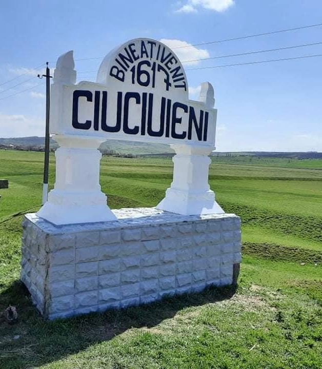
Violeta Vitu appreciated the opportunity to participate in the training courses, but believes there were not enough hours dedicated to this important topic. ” When we spend more time studying, we know more. The world doesn’t stand still, it develops, that’s why we also want to see continuous development in this field, in a future Centre for Assistance, Training and Expertise, created by CALM”, concluded the local elected representative.


