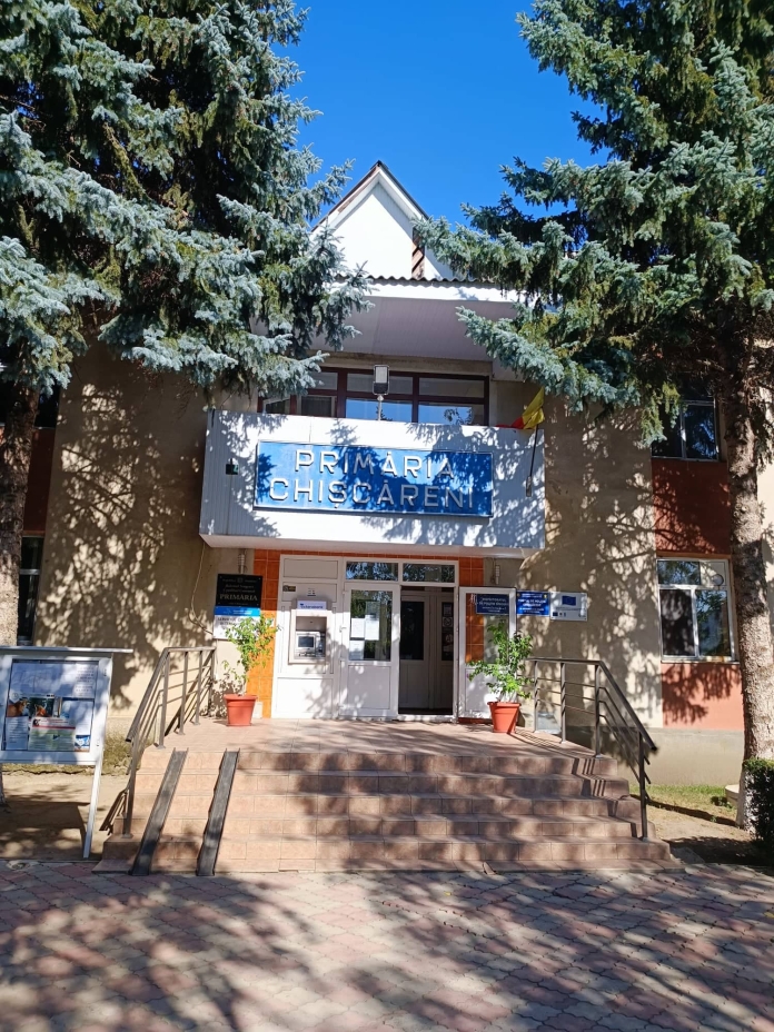
The technical assistance provided by the Norwegian Government directly facilitates the clarification of issues related to the establishment of land ownership boundaries of the inhabitants of Chișcăreni, Sângerei. Mayor Ion Cioina says it will also help them in the process of delimitation of public land, as most of them have not gone through this process and have not been registered in the publicity registers. “We have cases where some neighbors cannot establish the boundary between their properties. The most frequent misunderstandings arise because the boundaries of agricultural land cannot be established, which, at the time of the massive works, had not been transposed to the land and were registered with various errors.”
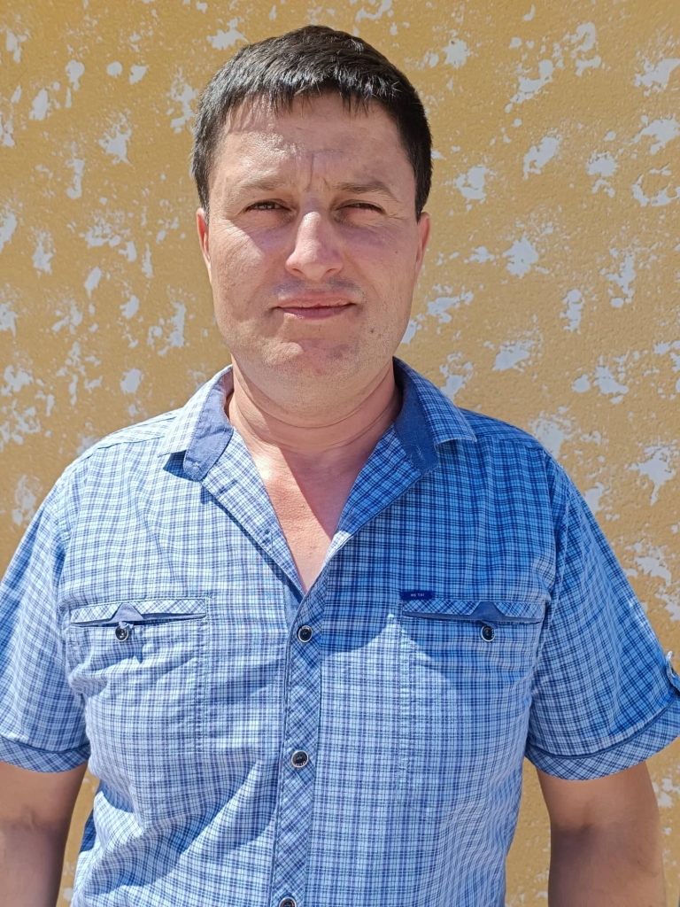
According to the local elected official, several farmers are overstepping the boundaries of the land they own and sometimes abusively, sometimes unintentionally, farming public land, including pastures that are a public asset. “With the help of high-performance computing technology and specialized software, we can intercalate cartographic data and digital maps from various central databases, allowing us to identify illegal use of public land and take appropriate action. Until now, for any action to clarify conflict situations arising in the field of land relations, we had to run around the roads to get all kinds of information. But now this exercise can be done directly from the office, thanks to the technical support and training we have received.”
The project “Maps for Sustainable Development of the Republic of Moldova” is carried out by the Norwegian Mapping Agency Statens Kartkverket in cooperation with the Congress of Local Authorities of Moldova and the Land Relations and Cadastre Agency in about 150 localities of our state.


