


Taraclia municipality, like about 150 other municipalities in the Republic of Moldova, has benefited from a project of the Congress of Local Authorities of Moldova (CALM), the Agency for Land Relations and Cadastre (ARFC) and the Norwegian Mapping Agency, which provided technical equipment and training for its use.
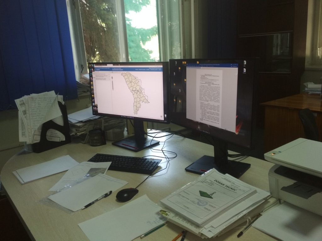
Nicolai Mutavci, a specialist in land property regulation at the Taraclia municipality, says that the courses were helpful to learn how to use the QGIS program in the land cadastre and monitoring processes. “Unfortunately, because the courses were held only in Romanian we Russian speakers did not really understand everything. Even so, we are using the computers we obtained, only that printer servicing is difficult and expensive.”
The official believes that the creation of a Training and Expertise Centre within CALM would help this category of specialists to identify answers to the problems they have to deal with. “So far we are using MAPINFO software and analogue maps because we have not fully learned QGIS. This is precisely why CALM support would be useful.”
According to Nicolae Mutavci, the participants of the training courses were familiarized with the experience and achievements of colleagues from other territorial administrative units, who have made progress in this field and managed to create thematic maps, such as the one on street lighting. “We would also like to implement this programme in order to improve the quality of street lighting in Taraclia.”

 Felicitări cu ocazia Zilei Internaționale a Femeii!")

