


The City Hall of Stefan Voda is among the beneficiaries of the technical assistance project offered by the Kingdom of Norway, within the framework of a cooperation between the Congress of Local Public Authorities (CALM) and the Land Relations and Cadastre Agency. It is an example that shows the benefits of joint efforts between central and local authorities and the results that can be achieved by institutionalised and permanent dialogue.
Within the framework of the Norwegian project, the municipality of Stefan Voda obtained the necessary equipment to improve the decision-making process and provide quality services to the inhabitants of the city.
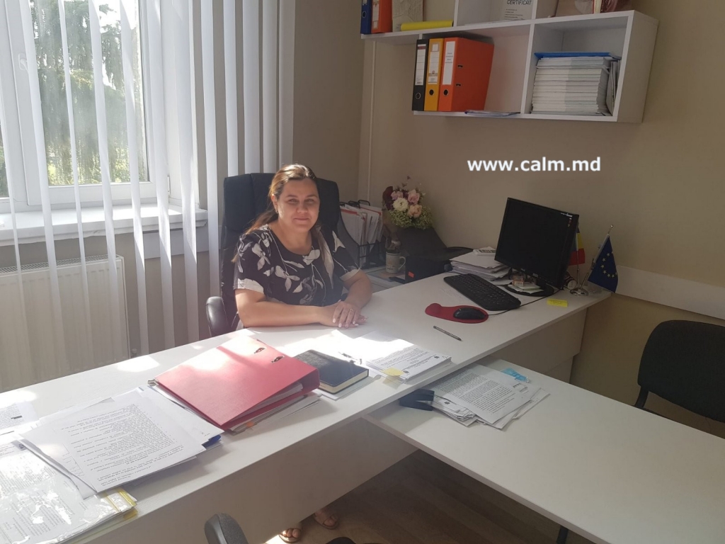 Deputy Mayor of Stefan Vida Olga Luchian says the new equipment will facilitate the usage of cartographic materials and spatial datasets through network services. “So far everything is on paper and it is very complicated for the cadastral specialist to perform his duties. From now on, the maps that will be used through the QGIS software will help us monitor various processes and objects.”
Explaining how the new equipment will improve the quality of services provided by the Municipality, the deputy mayor said that there is currently no clear record of the wells and their positioning. “At the same time, we want to make an assessment of the location of economic agents and decide on which areas are more economically advantageous. The new equipment can be used multi-functionally and graphical monitoring will be much more accessible, including visually, both for us as public officials and for citizens.”
A lot of information is requested to be offered by the municipalities, but unfortunately, now, accurate databases do not exist at the local level. “Although the graphical and textual information on the property a person owns is held by the Department of Cadastre of the Public Services Agency, many institutions initially request it from the municipality, which is correct in terms of the one-stop-shop principle, except that the lack of authorised real-time access to this data makes this task difficult. There is a great need to digitise services in order to be a modern town hall that provides the highest quality services to citizens.”
A defining element in the development of any city is spatial planning. “I believe that transforming urban and spatial planning documentation into spatial databases would facilitate the e-transformation of the municipality and allow us to automate several administrative processes, including the issuance of permits according to the general urban plan. Moreover, the existence of spatial databases depends on the modernization of the analytical and decision-making process.
A recent example illustrating the need to modernise the service delivery process concerns a land plot purchased by an individual intending to build a car wash, even though this construction does not fall within the provisions of the general urban plan. A conflict that could have been avoided from the start if we had a database where such things could be viewed, appeared from nothing.”
According to the Contravention Code, the LPA also acts as a sanctioning agent in the case of unauthorised constructions, the sanction is applied through the court’s decision. The Regulation on the valuation of real estate stipulates that the value of real estate must be updated every five years. “The new equipment will help us to monitor these constructions and tax them to bring more revenue to the local budget, but also to raise awareness among citizens so that everyone is treated equally. With Norway’s support we will be able to automate more processes in the municipality, including the issuing of permits,” said Olga Luchian.
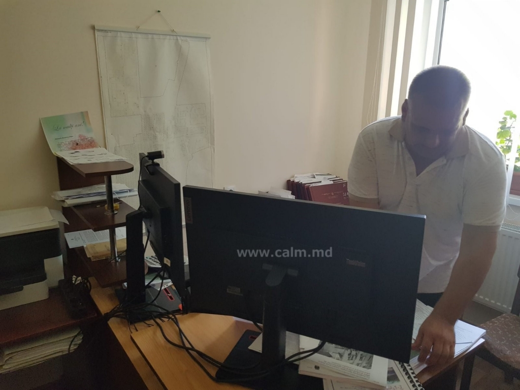
Aureliu Bizandei, an specialist in land regulation at Stefan Voda municipality, also believes that the technical assistance provided by the Kingdom of Norway is of great benefit to local public authorities. “In the Republic of Moldova such equipment does not even exist, or the manipulation with spatial data sets and digital maps requires equipment with advanced parameters. So we can use spatial data in a digital system, store all this information and use it for the development of several areas, to evaluate public property, living spaces, etc.”
The official drew attention to the fact that on August 10, in Stefan Voda district began the process of massive land delineation, and the donated equipment will facilitate the process of identifying and removing errors made over the years. “In addition, this process will allow us to make a complex, highly accurate inventory of all the land. Even though we are in the 21st century, we still have not established the boundaries between the land occupied by parks, squares, roads, streets, etc., and from now on we believe that we will be able to initiate this process.”
The official says that after the second stage of the training courses, when he has a more in-depth knowledge of how to use QGIS, he will apply the knowledge gained to improve decision-making. “It would be correct if forest protection strips were delimited separately. Now several types of vegetation are mixed together. For example, we are currently participating in a project to plant 10 ha of forest crops. In this process we are asked for exact data on the number of forest strips and where they are located, and it is very difficult for us to get exact data to give an accurate answer. The equipment donated by the Norwegian people will help us to get this area right too.”
CALM Communication Service

 Felicitări cu ocazia Zilei Internaționale a Femeii!")

