

")
The technical assistance, provided by the Norwegian Mapping Agency in the framework of the partnership between the Congress of Local Authorities of Moldova (CALM) and the Land Relations and Cadastre Agency, reached the village of Ermoclia in Stefan Voda raion.
Mayor Mihail Turcan said that until now Ermoclia village had no chance to develop its institutional capacities. “Now work is much easier and better. Before, citizens who submitted requests on the issue of various certificates had to wait for days to get them. This was because the town hall did not have the technical and institutional capacity to respond promptly to requests that needed access to several data sets held by central public authorities to which we did not have access. Thanks to the advanced equipment and the training organised as part of this project, the town hall will be able to deal much more easily and in less time with all the requests from our citizens.”
The mayor drew attention to the fact that the training of specialists in land administration in the municipalities benefiting from the project is a key element in its implementation. “The new equipment allows us to have access to information and data held by central public authorities. With the existing financial resources in the local budget we want to cover all the needs of the inhabitants, which is impossible, that is why, as a local elected representative, I was very happy when our municipality was selected as a beneficiary of the technical assistance offered by the Norwegian people.”
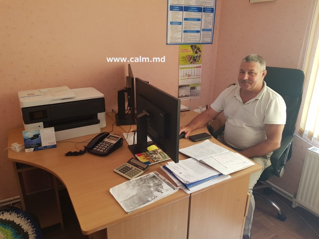
Iurie Bulbuc, the cadastral specialist of the Ermoclia village municipality, says that the new equipment helps him a lot in his day to day work. “The first training course for the use of QGIS software I attended in July, the second one will be held in August. Besides, we are also trying to learn on our own so that we can make the best use of the equipment we received as a donation. I understand that this tool can give us a chance to improve the quality of administrative work. At the same time, the equipment we have received offers us new possibilities for linking strategic development plans with spatial planning elements.” However, the Cadastral specialist from Ermoclia believes that they need more training in order to make full use of the new equipment.
“The use of spatial data network services will help us in the spatial planning process and a national project on the development of general urban plans would be necessary for many localities for sustainable development”, said Iurie Bulbuc.
The project “Capacity building of Moldovan LPAs in the efficient use of spatial data and information”, implemented with the support of the Norwegian Mapping Agency, in the framework of a partnership between CALM and the Land Registry and Cadastre Agency, foresees the equipping of about 150 municipalities with high-performance computing technology and the training of specialists in land tenure regulation to use the QGIS software.
CALM Communication Service

 Felicitări cu ocazia Zilei Internaționale a Femeii!")

