

")
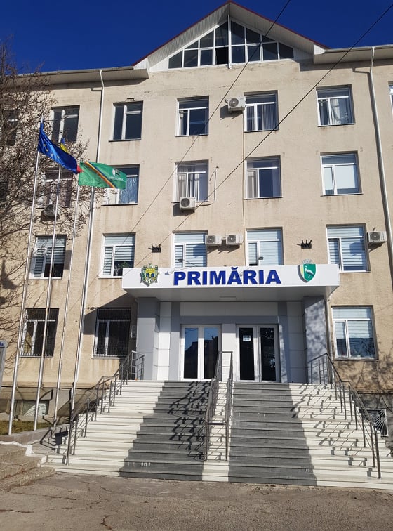
Drochia municipality is at the last stage of implementation of the water supply and sewerage system modernization project. At the end of these works, the contractor will hand over the execution plans of the objects of this system, including in digital form. Thanks to another support, provided by the Norwegian taxpayers through the Norwegian Mapping Agency in partnership with the Congress of Local Authorities of Moldova and the Land Relation and Cadastre Agency, the local public authority of the city of Drochia will be able to take over these data sets, ensure the registration of these objects in the local publicity registers and improve the process of their administration. Moreover, the superimposition of these data with other data and digitized thematic maps will allow a more efficient management not only of these objects, but of the entire public property on the administered territory.
Mayor of Drochia Nina Cereteu says that without this support it was much more difficult to operate, including with data sets. “Now, the specialist in land property regulation has a much easier possibility to systematize the information. At the same time, the city’s urban plan will be digitalized, transformed into a GIS database and integrated with other spatial datasets.”
Nina Cereteu believes that the highly centralized decision-making system does not allow local public authorities to have their own personnel and remuneration policies, which makes it very difficult to implement competences at local level. “The support provided by the Kingdom of Norway is an important step towards modernizing the administrative act through digitization. We want to ensure that not only the specialist in land property regulation has the necessary knowledge to be able to work with spatial datasets and mapping materials.”
The Mayor believes that managing an urban locality in the 21st century also implies analytical skills, knowledge in the use of various information systems, in several areas of administration and management of public property. “In this regard, I believe that the development and adequate equipment of a Centre of Expertise, Assistance and Continuous Training within CALM would play a decisive role. Over several years we have been receiving assistance from CALM experts in other fields and this makes our work easier. From discussions with the specialist in land property regulation I understood that two weeks of training was a very short time to get the necessary knowledge in this field. I know that for many specialists it was complicated to assimilate the information provided. Our specialist did very well, but even so, we feel that ongoing assistance would be needed and CALM would be best suited to provide it.”
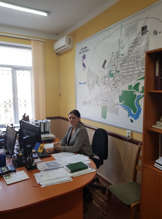
The specialist in land property regulation from the Drochia municipality also considers it appropriate the support of Norway, because the cadastre system at the level of the Republic of Moldova was conceived as one of evidence, consisting of several specialized cadastre. “The functional urban cadastre is a specialized cadastre and represents the information basis of the regulatory system, designed to ensure the functioning and development of localities. Local public authorities are responsible for the creation of this cadastre at the local level. The support provided directly facilitates the creation and development of this information base in Drochia municipality.”
According to the official, it can no longer be tolerated that urban and spatial planning documentation is used only on paper, it must be transformed into GIS databases and integrated as part of the functional urban cadastre.

 Felicitări cu ocazia Zilei Internaționale a Femeii!")

