

")
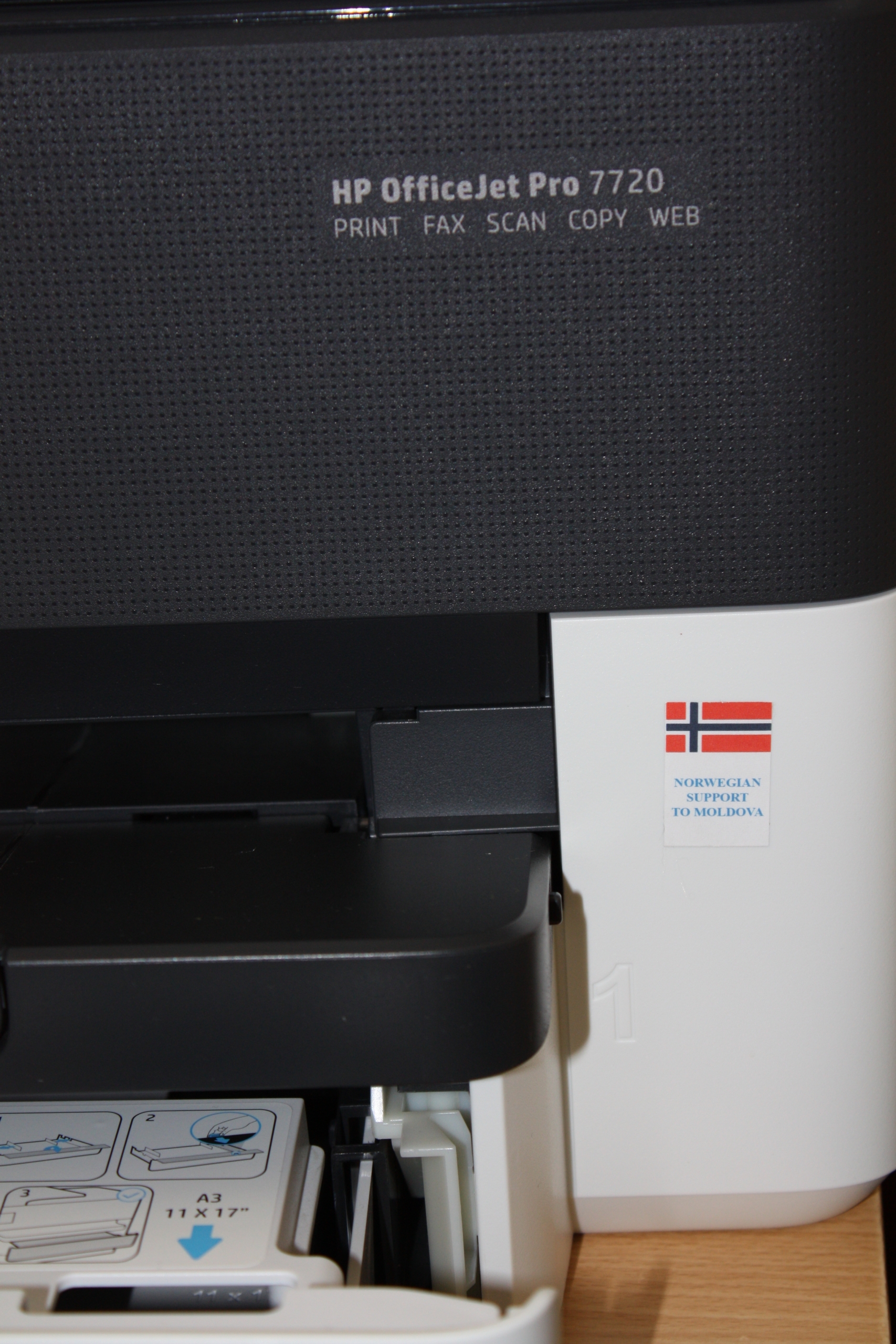
The mayor of Basarabeasca Valentin Cimpoies, expressed his gratitude to Norway for their support to the town he administrates. The gesture is a part of a project in which the mayor’s office it administers is one of the beneficiaries of the project of technical assistance and schooling in the field of using spatial data in the work process of the local public authority. The support consists of the endowment with high-performance computer techniques that will allow the achievement of several planning and recording assets within the territory administered by LPA Basarabeasca.

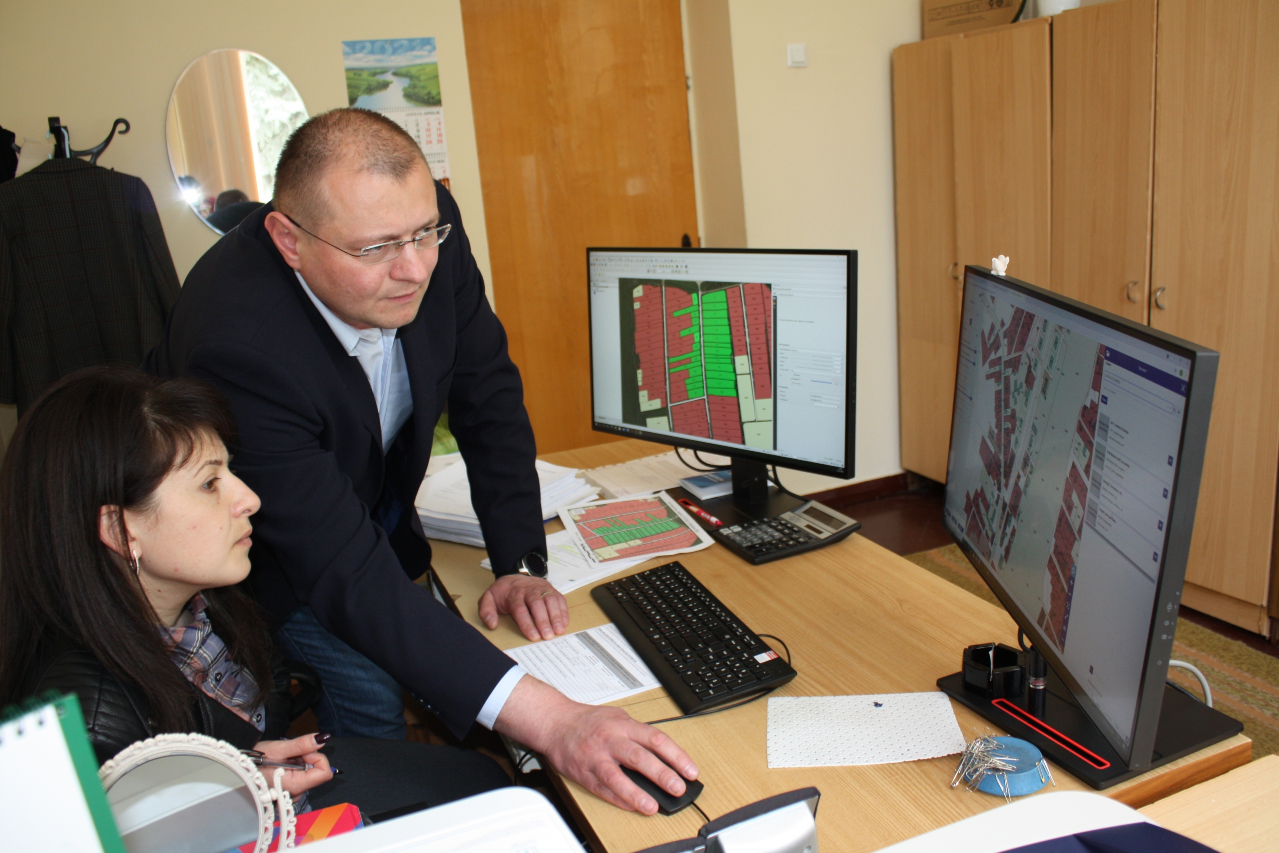
“Through the Agency for Land Relations and Cadastre, in cooperation with the Congress of Local Authorities of Moldova (CALM), we have the opportunity to carry out the exercise of inventory and recording of lands from the land fund of ATU Basarabeasca,” said Valentin Cimpoies. The mayor is convinced that the aid provided by the Kingdom of Norway will facilitate the population’s access to information and data on real estate. “Citizens need information in reasonable terms and we have many requests in this regard. Before, we had to address the central authorities who have this data and we waited for the answer for several days. Now we can access in real time, through network services, the spatial data sets necessary for the analytical process and provide the necessary information to citizens in much more reasonable terms and with a higher degree of accuracy. “
Valentin Cimpoies explained that the use of cartographic materials and spatial databases, in real-time, requires high-performance computing techniques, with advanced technical parameters, and the endowment of municipalities with such computers and printers has become possible thanks to the Kingdom of Norway.
An example of the practical use of this technique and the knowledge gained in training courses can be the exercise of identifying and positioning on the digital map of street lighting pillars, analyzing street lighting and planning investments in this regard. “Previously, to accomplish this task, the local public authority had to establish the location of street lighting pillars intuitively, without relying on relevant spatial data. This public service is becoming more qualitative, and the investment is becoming much more feasible. The LPA specialist, who already has knowledge in this field, can create a digital map of the pillars equipped with street lighting lamps, with their technical characteristics, identify the mechanism to establish the necessary distance between the pillars, but also the power of LED bulbs needed to illuminate efficiently the streets in the night time and reduce maintenance costs. This mechanism contributes to the improvement of the decision-making process and to the efficient planning of the capital investments in communal infrastructure objects”, explained Valentin Cimpoies.
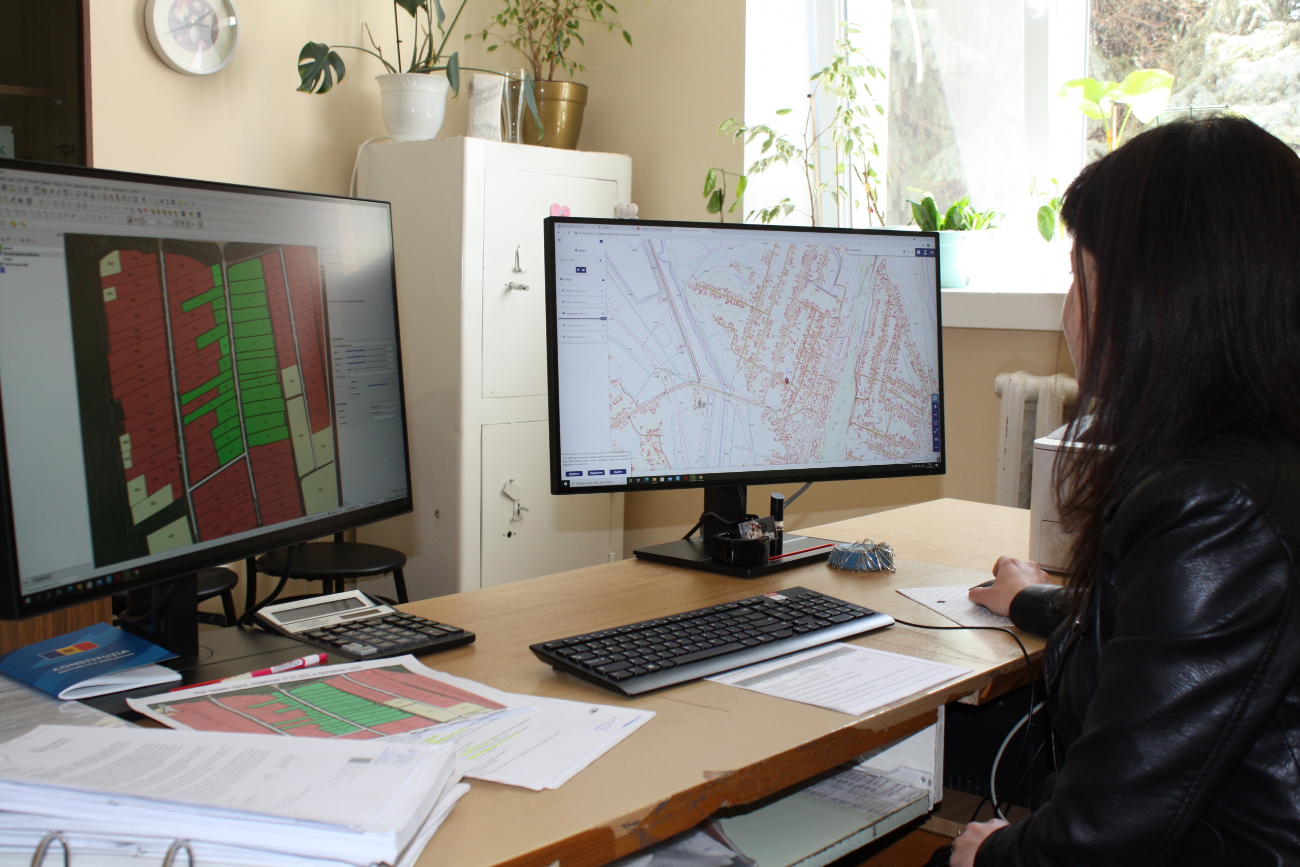
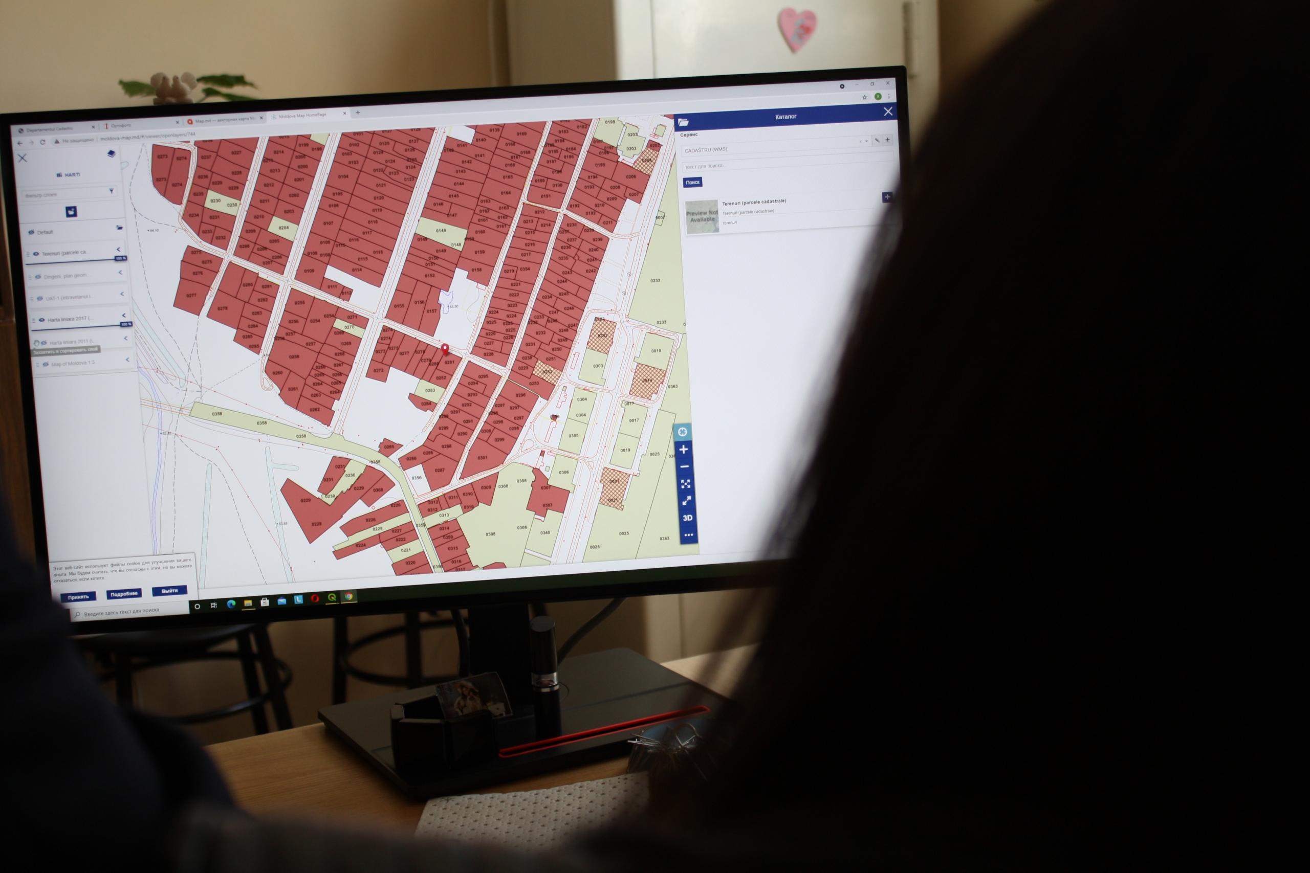
The specialist in the regulation of land ownership within the Basarabeasca town, Uliana Lucci, informed us that she is the beneficiary of the study course of the QGIS program, and at the end of it the knowledge obtained was evaluated by the trainers. “We had the opportunity to create the first thematic digital map within the QGIS program. During these training sessions we have learned to work with various layers on the map, to identify the plots of land we are interested in, to place the massifs and cadastral numbers on the map, to create linear and punctual objects, but also tables with attributive information.”
A new training session will take place at the end of May, after which participants will gain more advanced knowledge of using the QGIS program. “It’s not that simple, but thanks to the knowledge we gain it will be much easier for us to activate, to create our own datasets and thematic maps. All these today’s actions, will save time substantially in the future and will reduce the costs of human and material resources necessary to achieve the set objectives.
CALM Communication Service

 Felicitări cu ocazia Zilei Internaționale a Femeii!")

