

")
The Municipality of Criuleni received technical assistance in a project supported by the Norwegian Government as a result of a partnership between the Congress of Local Authorities of Moldova (CALM) and the Land Relations and Cadastre Agency.
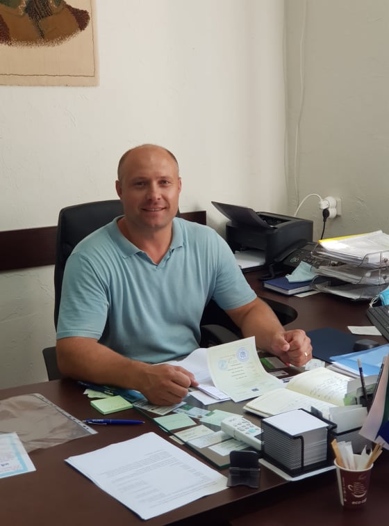
Mayor Mihail Sclifos was proud that his team is part of this programme, saying that such tools boost the development of institutional capacities of city employees in the field of spatial dataset reuse, creation of their own datasets and their use in the administrative process. “The technical support, as well as staff training, allows us to use cartographic materials in a much more efficient way to improve local decision-making. The technical equipment owned by the local administration did not allow us to fully reuse the cartographic materials and spatial datasets owned by public entities at central level, especially those under the Land Registry and Cadastre Agency. The administrative and decision-making process in municipalities is now set to become much more efficient.” According to the local elected representative, the implementation of this project will bring benefits not only to Criuleni Municipality, but also to the neighboring administrative-territorial units and will create real opportunities to develop inter-community cooperation relations in the above-mentioned areas.
Mihail Sclifos believes that not only the cadastral engineer, but also the building engineer or the architect should be able to work with QGIS – an accessible tool for using cartographic materials and spatial datasets in the work of specialists in the municipality, in order to be able to face all challenges in this field. “The creation of a training center for these specialists would facilitate our work and give us the opportunity to find answers to the problems that arise in the process of work and provision of services to citizens, which involves the use of cartographic materials and spatial datasets. As a mayor, I would also like to have knowledge of how to use this software, which would allow me to see the whole picture.”
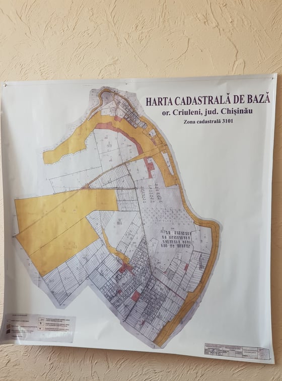
The general urban plan of Criuleni was developed in 2006, a document that needs to be updated every ten years. The mayor’s intention is to allocate money in the budget for the future so that the spatial planning documentation is updated and corresponds to the realities of the day. “Moreover, we intend that the urban plan will take on a new digital form, i.e. to become a GIS database, which will allow us to integrate it into other systems and automate more processes avoiding human error.”
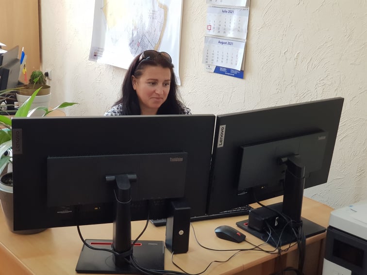
Oxana Aniță, a specialist in land administration in Criuleni municipality, says that the set of computers, processor, printer, copier and scanner provided by the Norwegian partners are very useful for the LPA. “We have attended the training courses in the use of QGIS software, both the introductory and advanced courses. They were very useful but we would need to organise regular training in this area. I am convinced that the creation of a center within CALM that would provide assistance and training in this area is the most feasible solution.”
The land tenure specialist says that in addition to their multiple duties, this category of officials also needs time to implement certain projects in QGIS or create certain datasets. “That is why the prolongation of training courses would be extremely necessary. Furthermore, we would like the future trainings to be organized with our physical presence in a well-arranged and technically equipped center, which will allow us to have better results and a more interactive learning process.”

 Felicitări cu ocazia Zilei Internaționale a Femeii!")

