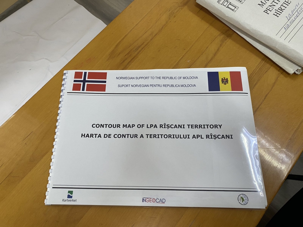
Riscani City Hall already has the possibility to access in real time, through network services, the cadastral map and other maps from central level. This allows local public authorities to analyse the situation on the ground, using up-to-date cartographic materials and to create their own datasets, which help them in the process of territorial planning and efficient management of public assets. The realization became possible thanks to the implementation of the project by the Norwegian Mapping Agency Staten Kartverket, in cooperation with the Congress of Local Authorities of Moldova (CALM) and the Agency for Land Relations and Cadastre (ARFC).
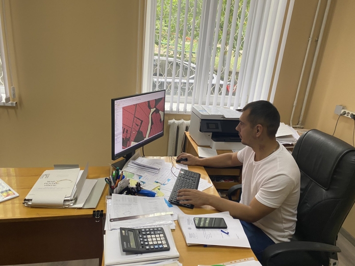
Victor Bogatico, the mayor of Râșcani, says that the computer and printer offered in the project “Maps for sustainable development in the Republic of Moldova” are new generation with advanced specifications. “Even if the mayor’s office could identify the financial resources to purchase it, it cannot be found on the Moldovan market. We have been very lucky to have identified a young specialist in the field of land property regulation, and the equipment and training he has received with the latest technology is helping us to achieve much more in this area.”
Land regulation specialist Denis Slesarciuc notes that QGIS is open source and available to local public authorities. “The computer is powerful and fast, you can get any information in seconds. We can already establish the exact boundaries, and all the operations with this data we do through the QGIS program. Also, in mass registration, the whole process takes place using QGIS.”

The official said that using the new possibilities, he has already started to create various thematic maps, including the natural gas supply system, water pipelines and other public utilities. “It even helps us to update land cadastre and land monitoring data. Our architect also uses this technique in his daily work.


