


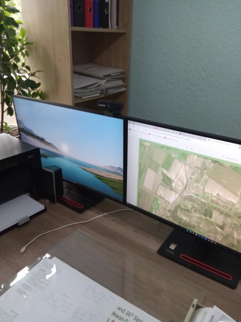
The Municipality of Plopi, Cantemir, thanks the tax payers of the Kingdom of Norway for strengthening technical and institutional capacities in the field of public property management and spatial planning. Through the Norwegian Mapping Agency Statens Kartverket, Plopi municipality has been equipped with a new generation computer and a wide format color printer.
Mayor Anatoli Todorov says that the technology they have benefited from gives them new possibilities to obtain updated data in real time from the databases held by the central authorities, and the printer allows printing plans, diagrams, maps that can be attached to administrative documents, which facilitates the decision-making process and understanding, through visualization, the essence of the documents. “Until now, the specialist in land property regulation had to go, at least, to the district center in order to obtain certain information necessary for the work process. Now, using specialised software, especially QGIS, in his office he can access the necessary information and is able to process it. Thus, we have reduced the number of trips we make to the district, increased the efficiency of our work and provide the services requested by citizens much faster and more efficiently.”
The local councillor explains that, thanks to the support they have received, the officials manage to tidy up the land in the territory they administer. “I am confident that with the implementation of the government’s land registration and evaluation project, we will be able to sort out the public and private property, and the techniques and knowledge we have acquired will be of considerable help in this process. I am in my second term as mayor and throughout this period of time, due to lack of access to mapping materials and data sets held by the central authorities, I have had several land-related court cases with various people in the public and private sector. Upon completion of the delimitation and mass registration process we will know exactly the boundaries of the land holdings and the rightful subjects.”
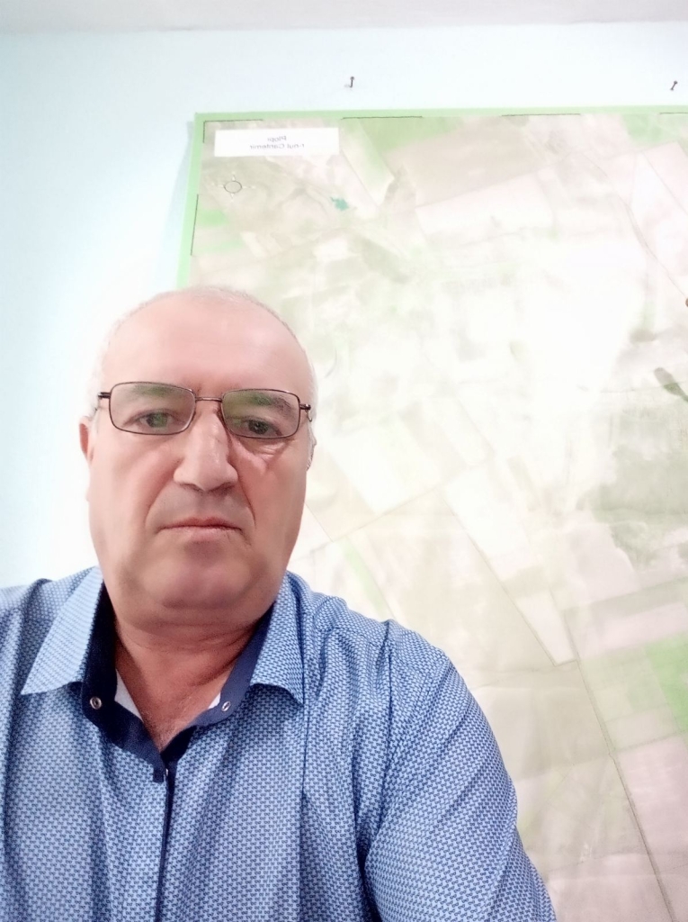
According to Petru Rîbacov, a specialist in land property regulation, thanks to the technology provided and access to maps and plans held by the Land Relations and Cadastre Agency, the Cadastre Department of the Public Services Agency and other central authorities, he can now carry out various analyses and planning, including investment planning. “For example, if we want to renovate a street or a local road, I can easily determine the geometric parameters: length, width, area, which allows us with greater accuracy to determine the potential volume of investment needed. Previously we had to pay for these services, but now I do all this work myself.”
The project “Maps for Sustainable Development in the Republic of Moldova” was carried out by the Congress of Local Authorities of Moldova (CALM), the Land Relations and Cadastre Agency (ARFC) and the Norwegian Mapping Agency Statens Kartverket.

 Felicitări cu ocazia Zilei Internaționale a Femeii!")

